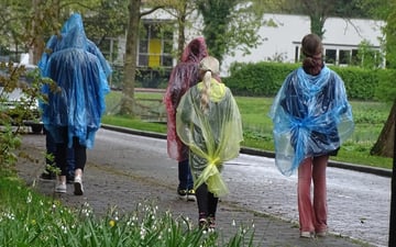


Koningsdag: weekendweer verloopt wisselvallig
De evenementen tijdens Koningsdag- en nacht zijn niet te tellen. Een heerlijk vooruitzicht voor...
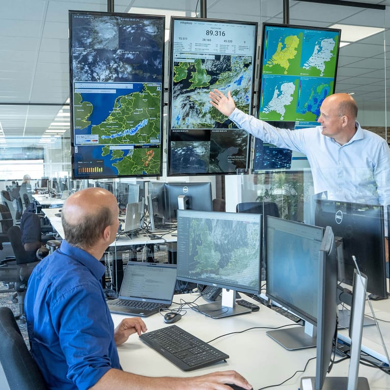
Met welke weerrisico’s jouw bedrijf ook te maken krijgt, als expert in weer en mobiliteit helpen we je beslissen. Onze betrouwbare weersverwachtingen op basis van hoogstaande techniek en de kennis van onze gepassioneerde meteorologen, geven jou inzicht.
Ontdek onze diensten


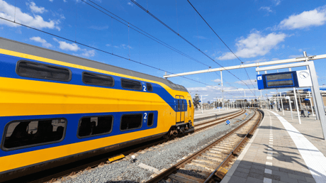

Procesleider Weer en Seizoenen, ProRail

Op ons blog plaatsen we geregeld nieuws en delen onze meteorologen allerhande kennis over hoe het actuele weer de veiligheid en planning van jouw branche beïnvloedt.